Using the Editor
Click here to start watching the Using the Editor Publishing video.
|
Click here to download the data that the author used for the course lesson. By downloading the data you will be able to follow the steps completely.

|
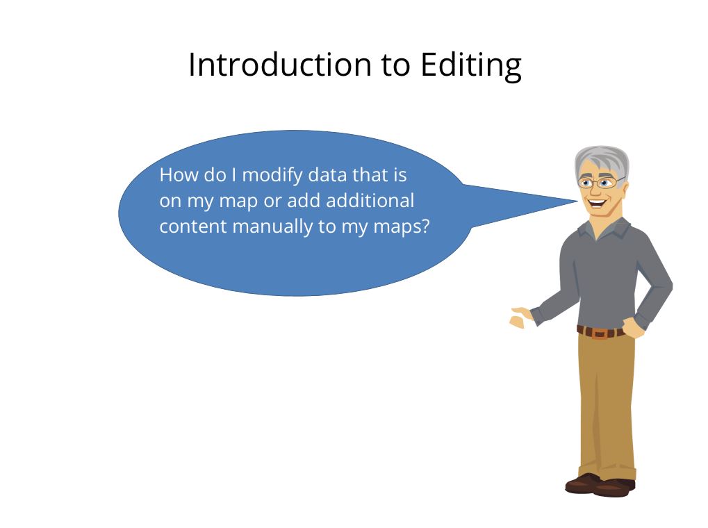
Introduction
In this Technical Skills Lesson, the concept of editing an existing shapefile or the creation of new information in an existing shapefile will be discussed and demonstrated. This lesson will show how to edit an existing data set, create a new attribute and the creation of a new item.
For example:
For example:
- the creation of a new attribute(s), such as the type of tree, for items that have already been placed on a map,
- the moving of a tree to a new location,
- the placement of a new tree onto the map and providing attribute information.
Prerequisites
It is assumed that the learner can use a shapefile contained within a geodatabase. It is further understood that the user can place information onto a map. The shapefiles used in this lesson are available to the learner.
Data
For this example it is strongly recommended that the learner use the provided data files. The three shapefiles include a line, point and polygon which align to the provided raster image. The provided information is not projected onto an earth grid. The point shapefile is of light poles (standards), the line file is a road, and the polygon file contains buildings. The raster image is a map of the Southwest Campus of Jefferson Community and Technical College. The basemap used is Open Street Map and generated in Field Papers and captured and modified with Snagit.
Adding a New Attribute
To add a new attribute, right click on the file name, open attribute table, using the button on the upper left hand corner, select add field. Give the new field a name (cannot use any special characters such as a space) and a data type and click OK.

