Basemap
Basemaps for the state of Kentucky can be found by connecting to a service such as; http://kygisserver.ky.gov/arcgis/rest/services/ , select WGS84WM_Services then choose the Ky_Counties_Generalized and add to the map. A basemap of KY is also included in the data set, however it is important to remember and utilize the skills of connecting to and extracting data from a service.
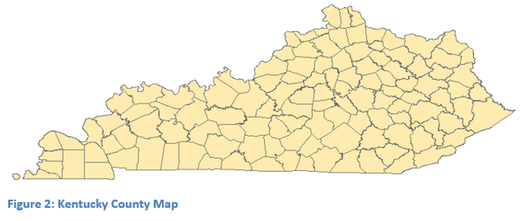
A connection is required to the server in ArcMap or ArcCatalog, and then utilize the service KY_County within ArcMap, do not try to click on the link outside of ArcMap. The minimum required basemap is one that contains all the counties of Kentucky. Additional services or shapefiles can be added such as zip code boundaries, state boundaries and major roads. Be careful not to add to many layers that hides the purpose of the map. While some of these layers will not be directly used they may be useful in the finished product. Other layers of the users choice can also be loaded, make sure all layers are of the same projection and coordinate system. Figure 2, shows only the county map service. If the Kentucky data set is not used, the created map will appear different; all images for this module will be based on the Kentucky data set and Kentucky county map.

