Dynamic Zoom - Showing Feature Based on Zoom Level
Click here to start watching the Dynamic Zoom video.
|
Click here to download the data that the author used for the course lesson. By downloading the data you will be able to follow the steps completely.

|
Purpose
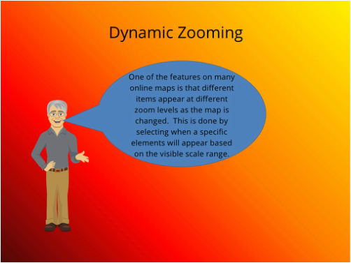
This technical skills lesson will demonstrate how to display different datasets by modifying the appearance of the data being displayed and how to turn on and off layers at different zoom levels. For example city streets should not be displayed on a national map. Similarly when viewing a local area national trend data would not be displayed. In the dynamic zoom technical skills lesson the determination of when information is visible and not visible is performed by using the map scale range. Labeling can also use dynamic scale range, those concepts are covered in a separate lesson which is a complement to this one. This lesson should be taken after the lesson on labeling is completed. The placement of scale bars, directional arrows and legends onto a map, are not covered in this lesson, those concepts are covered in the technical skills lesson on map publishing.
Prerequisite
Prior to beginning this module the user should have the skills of loading shapefiles onto a map and the ability to manipulate the data.

