Geocoding
Excel
Open Microsoft Excel and open the spreadsheet so that it can be explored what the data set looks like. As noted previously the field headings have changed so that they do not have spaces in them, if a different data set is used make sure the header (top row) does not have spaces and dots in the names. This will cause an error and the coding will not occur.
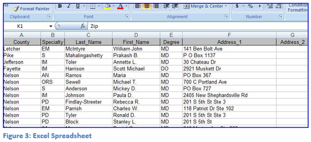
It is assumed that the user has basic knowledge of Microsoft Excel. The image in Figure 3: Excel Spreadsheet is only a part of the Excel spreadsheet of doctors. Note an underline has been used in the naming of the fields instead of a space. This is very important as ArcMap will give errors if field names have spaces in them. If field names have spaces or dots, replace them with an underline. Note some of the doctor addresses have a post office box number instead of street addresses, these selections will not geocode. Also check the zip code field and make sure it contains only 5 digit zip codes, if it contains 9 digit zip codes the field must be split into two fields. In this case the data has already been split. Close Microsoft Excel before trying to load the data into ArcMap, if the Excel file is open the data will not load correctly. Open ArcMap to continue with this module.

