Introduction
Click here to print the content's Adobe Acrobat file.
Buffering is the creation of a polygon shapefile around an object or in the case of a polygon it can also be within the polygon. When the buffering tool is used, a distance away from the original object will be input with appropriate units. A mathematical calculation will be performed to create the polygon surface. A buffer can be created around a point, in which case the polygon buffer will be a circle of a given radius, see figure 2. If the buffer is created around a line, such as a road, the polygon buffer will be parallel to each
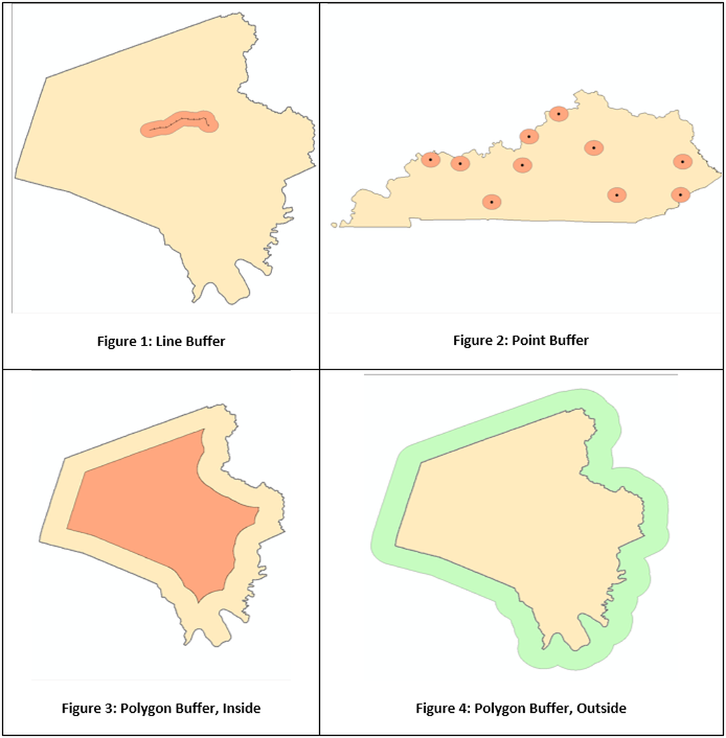
line segment of the road and the ends will be semicircles, see figure 1. If the buffer is of a polygon it can be included within the polygon, such as all area within five miles of the county boundary, see figure 3. The other type of buffering is of a polygon is outside of the boundary, such as those areas 5 mile outside of the county border as seen in figure 4.
In this technical skills lesson the following topics will be covered:
In this technical skills lesson the following topics will be covered:
- Basic buffering of data
- Merging buffer zones
- Clipping the buffer
- Concentric rings around the object

