Tabular Join
Click here to start watching the Tabular Join video.
|
Click here to download the data that the author used for the course lesson. By downloading the data you will be able to follow the steps completely.

|
Introduction
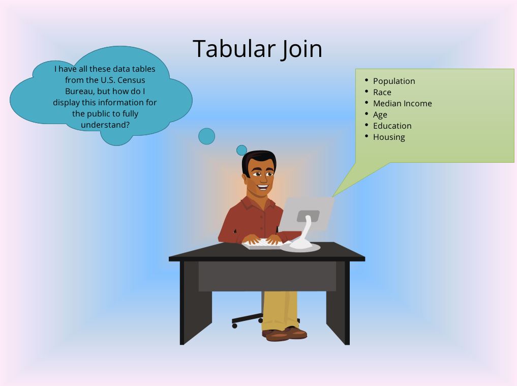
In this technical skill lesson the process which will be presented is the joining of a table to a shapefile. The shapefile could be a point, line, or polygon, in this lesson a polygon will be used. For a successful tabular join to be completed there must be at least one field in the attribute table of the shapefile and one field (attribute) in a spreadsheet (could be other types of files) which have a common value. The selected attribute must be of the same format, for example, the attribute in the shapefile and that in the spreadsheet must both be in the text format. A tabular join cannot be completed if the attributes are of different formats, as an example an attribute in the shapefile is numeric format and that in the spreadsheet is in the text format. In this lesson how to change attribute types will be discussed as well as the tabular joining process. A one to one correspondence of information is not required, for example, if the shapefile has 65 rows of information which represents 10 counties at the census tract level and the tabular data contains 61 rows of information for 9 counties the tabular join can still be completed, the county not represented in the data will not show any information. The reverse can also be true that more data is represented in the spreadsheet, such as that for an entire state in the spreadsheet. After the tabular join has been completed, a look at the attribute table will show that additional fields have been added to the rows. No changes are made to the spreadsheet since the information is extracted into the shapefile. To permanently save the results of the tabular joined shapefile, it will need to be exported with a new name. For this lesson, it is the responsibility of the learner to locate the new data appropriately.
Data Requirements
For this technical skills lesson it is assumed that the user can add a shapefile to a map. It is further expected that the user can locate data and shapefiles at the U.S. Census Bureau website. The shapefile and the census tabular data must be of the same geographical region. One or more counties can be selected. An area with fewer Census Tracts will make the download process quicker, the selected area must have a minimum of 10 census tracts (this can be accomplished as a single county or multiple counties). The technical skills lesson for downloading data and shapefiles is available to assist the learner http://introductiontogist.weebly.com/downloading-data.html . There are numerous sources of this type of data but it is recommend that the U.S. Census Bureau be used as the data source. In general tabular data is not connected with the geographic shape information, there are a few cases in which the data is connected, ensure that the selected data is not already connected to the geographic shape. Note: reviewing the “Downloading Data U.S. Census Bureau Data Download” is needed for this technical skills lesson.

