ArcCatalog
ArcCatalog gives more control over geospatial data, including creating new shapefiles and geodatabases. ArcCatalog is used to load data onto a map; it utilizes a file management system which is similar to Microsoft Windows Explorer. Information can be downloaded from remote and local sites as well as connecting to a geodatabase server. A service from a geoserver is different than downloading data from a traditional web based data server, since the geoserver provides geographically coded information. ArcCatalog is not a replacement for Microsoft Window Explorer since it only works with geospatial information, i.e. items that can be used in mapping.
Note: A shapefile contains a number of associated files when viewed in Windows Explorer. If you are using Windows Explorer, you must move the shapefile and the associated files. ArcCatalog will do this for you, since it understands the structure of shapefiles.
A geodatabase is a database that is specifically formatted for geospatial technologies. There are different types of geodatabases, such as file and personnel databases as well as relational databases such as SQL and Oracle. A database functions differently than individual files.
A geoserver, such as ArcGIS server, is a device that provides a service. A service provides a stream if of geospatial data. Depending on how that service was created and configured will determine if the service can be edited. More in depth information about geodatabases, file structure and geoservers will be covered in this course.
There are two main processes to access ArcCatalog by opening in ArcMap, using the yellow folder icon, or as a standalone program outside of ArcMap. To open ArcCatalog outside of ArcMap, locate the program file in the ArcGIS folder. Shapefiles can be placed onto a map through a drag and drop process.
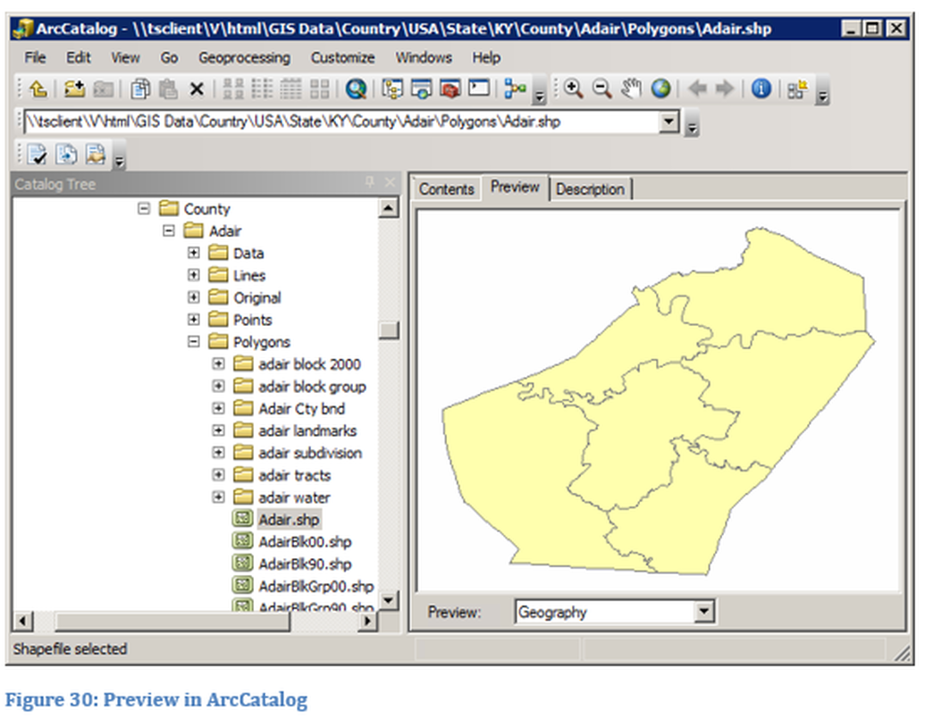
The ArcCatalog window looks very similar to Microsoft Windows Explorer, the window should look something like Figure 29 and 30.
Note: A shapefile contains a number of associated files when viewed in Windows Explorer. If you are using Windows Explorer, you must move the shapefile and the associated files. ArcCatalog will do this for you, since it understands the structure of shapefiles.
A geodatabase is a database that is specifically formatted for geospatial technologies. There are different types of geodatabases, such as file and personnel databases as well as relational databases such as SQL and Oracle. A database functions differently than individual files.
A geoserver, such as ArcGIS server, is a device that provides a service. A service provides a stream if of geospatial data. Depending on how that service was created and configured will determine if the service can be edited. More in depth information about geodatabases, file structure and geoservers will be covered in this course.
There are two main processes to access ArcCatalog by opening in ArcMap, using the yellow folder icon, or as a standalone program outside of ArcMap. To open ArcCatalog outside of ArcMap, locate the program file in the ArcGIS folder. Shapefiles can be placed onto a map through a drag and drop process.
The ArcCatalog window looks very similar to Microsoft Windows Explorer, the window should look something like Figure 29 and 30.
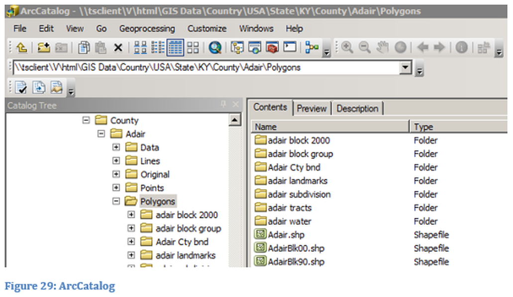
From ArcCatalog the user can view shapefiles and metadata without opening ArcMap. Metadata can be added from within ArcCatalog.